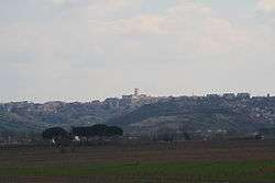
Monterotondo
Koordinatlar: 42°03′00″K 12°37′00″D / 42.05°K 12.6166667°D / 42.05; 12.6166667
Monterotondo, İtalya'nın orta kesimindeki Lazio (Latium) bölgesinde, Roma ili'nde kasaba.
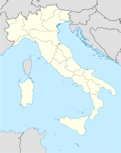
Roma ili - Lazio  |
|---|
| | Komünler |
Affile · Agosta · Albano Laziale · Allumiere · Anguillara Sabazia · Anticoli Corrado · Anzio · Arcinazzo Romano · Ardea · Ariccia · Arsoli · Artena · Bellegra · Bracciano · Camerata Nuova · Campagnano di Roma · Canale Monterano · Canterano · Capena · Capranica Prenestina · Carpineto Romano · Casape · Castel Gandolfo · Castel Madama · Castel San Pietro Romano · Castelnuovo di Porto · Cave · Cerreto Laziale · Cervara di Roma · Cerveteri · Ciampino · Ciciliano · Cineto Romano · Civitavecchia · Civitella San Paolo · Colleferro · Colonna · Fiano Romano · Filacciano · Fiumicino · Fonte Nuova · Formello · Frascati · Gallicano nel Lazio · Gavignano · Genazzano · Genzano di Roma · Gerano · Gorga · Grottaferrata · Guidonia Montecelio · Jenne · Labico · Ladispoli · Lanuvio · Lariano · Licenza · Magliano Romano · Mandela · Manziana · Marano Equo · Marcellina · Marino · Mazzano Romano · Mentana · Monte Compatri · Monte Porzio Catone · Monteflavio · Montelanico · Montelibretti · Monterotondo · Montorio Romano · Moricone · Morlupo · Nazzano · Nemi · Nerola · Nettuno · Olevano Romano · Palestrina · Palombara Sabina · Percile · Pisoniano · Poli · Pomezia · Ponzano Romano · Riano · Rignano Flaminio · Riofreddo · Rocca Canterano · Rocca Priora · Rocca Santo Stefano · Rocca di Cave · Rocca di Papa · Roccagiovine · Roiate · Roma · Roviano · Sacrofano · Sambuci · San Cesareo · San Gregorio da Sassola · San Polo dei Cavalieri · San Vito Romano · Sant'Angelo Romano · Sant'Oreste · Santa Marinella · Saracinesco · Segni · Subiaco · Tivoli · Tolfa · Torrita Tiberina · Trevignano Romano · Vallepietra · Vallinfreda · Valmontone · Velletri · Vicovaro · Vivaro Romano · Zagarolo |
|